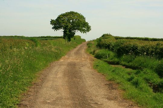
Along the Roman, Fosse Way.Geograph / ROGER ROBERTS
Follow the Roman Road from Exeter to Lincoln and walk through years of history - ramble the Fosse Way.
Twisting along wiggly roads is one of the delights and frustrations of exploring England’s colorfully contoured landscapes away from the pragmatic dash of motorways. Yet, even so, some highways still appear unusually straight: Scratch the surface and find Rome, as the saying goes.
Road building remains one of the greatest Roman legacies. Where the empire expanded, it laid down emphatic, paved routes to move troops and supplies quickly, connecting forts, ports and other key points. And where imperial couriers and legionaries sped, merchants and trade followed, servicing the growth of new settlements en route as civic life took off.
Industries flourished with greater reach to farther markets; excess food from the farming estates of country villas fed army bases and towns. During the invaders’ occupation in Britain (AD 43–410), they built some 8,000 miles of known roads, and to this day many of them underlie our more modern constructions.
Read more
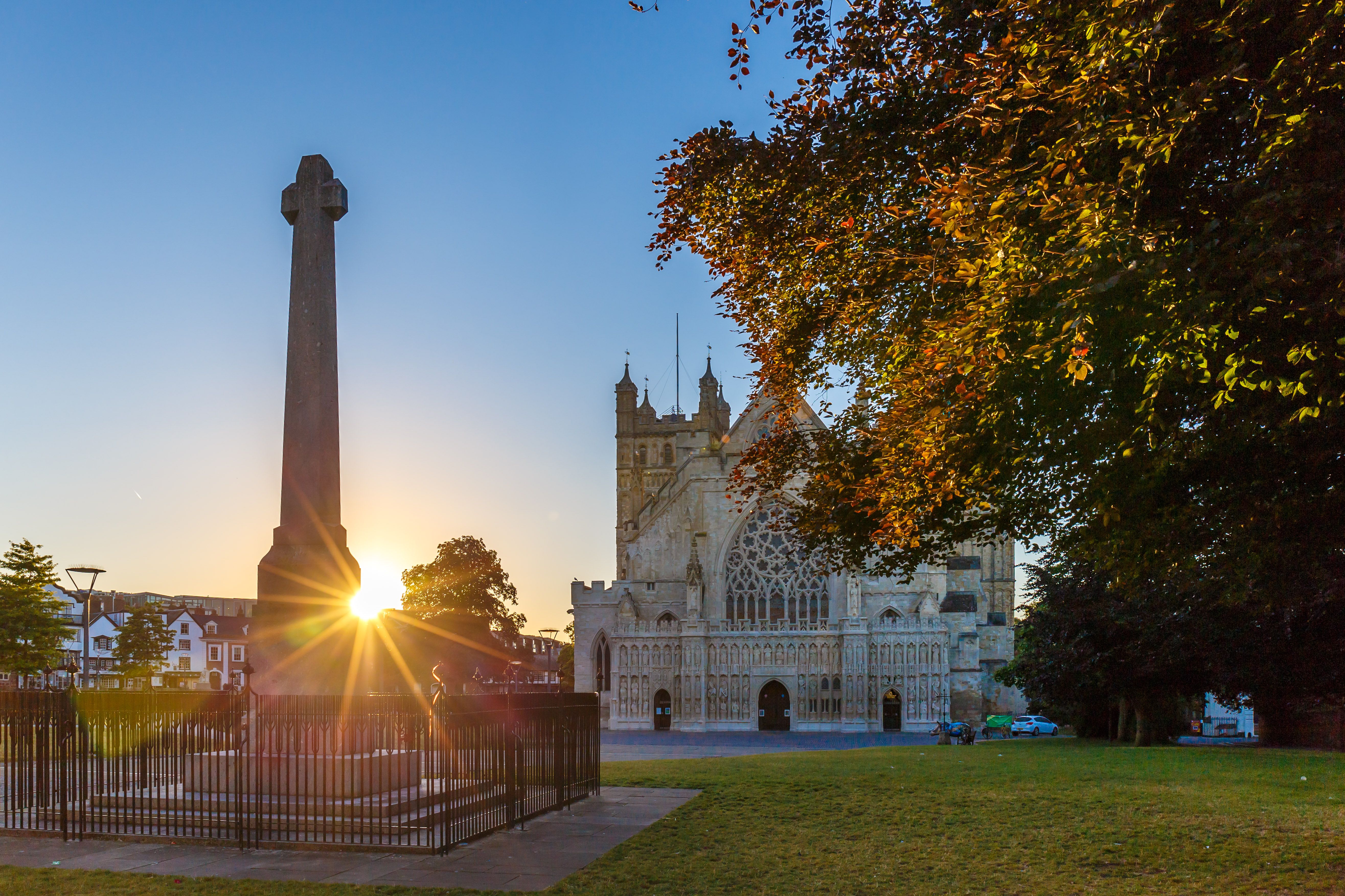
Old center of Exeter (Devon)
Walking the Fosse Way
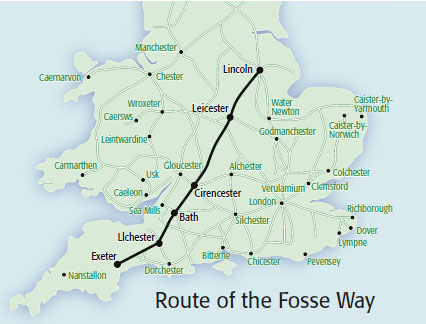
One of the straightest of straight Roman roads across England, the Fosse Way runs from Exeter in Devon in the south to Lincoln in the northeast. When troops of Emperor Claudius landed in Kent in AD 43, they soon pushed inland and conquered much of southern England. The Fosse Way, built in the first phase of occupation, effectively marked the western frontier of the early Roman province, punctuated by military stations.
The name “Fosse” derives from the Latin fossa meaning “ditch”; probably less to do with road-building techniques than with the suggestion that the Way followed a one-time defensive ditch running along the western border of Roman-controlled England.
You can almost lay a ruler along the diagonal that the Fosse Way describes and, although its course now sometimes dwindles, you can drive substantial sections, or along roads that shadow it, taking in places redolent with English history from Roman times to the present: Exeter, Bath, Cirencester and the Cotswolds, Leicester and Lincoln.
SiâN Ellis
The Second Augustan legion's occupation of Exeter
Between AD 55 and 75, the fortress of the Second Augustan legion occupied what is now the center of Exeter (British Heritage, May 2012) during its conquest of southwest England. From little more than portions of recovered barracks, granaries and workshops, clever archaeologists have pieced together a picture of the site commanding the very lowest crossing point of the River Exe, and the Royal Albert Memorial Museum & Art Gallery does a good time-trial to explain it all.
After the legion’s departure, the regional capital of Isca Dumnoniorum developed, AD 75 to 400, along the Roman grid pattern with basilica (town hall) and forum (market) at the center; the idea of planned towns had arrived in Britain.
Along the Fosse, at Axminster, there was a Roman fort in AD 64, though today you’ll simply find a pleasant vignette of Devon market town life and the eponymous carpet factory. At quiet little Ilchester, too, there was a military post, and the museum in the Town Hall (open Thursdays and Saturdays) recalls through coins, bones and other artifacts that by the end of the first century, a prosperous town—Lindinis —had grown up.
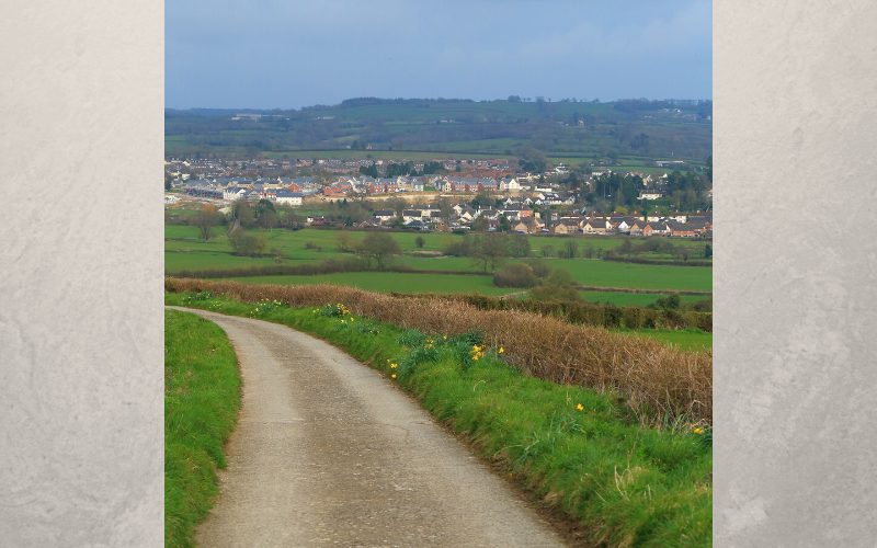
Panoramic view of market town Axminster, in County Devon.
The wonders of Roman engineering
More fascinating to Roman road-spotters is the approach to Ilchester along the A303 because here you can appreciate the technique of Roman engineering. Typically, ditches for rainwater were dug on either side of the intended route and the spoil was piled in between creating a raised “agger.” Large stones were laid on top, and then a layer of smaller stones and gravel rammed down to give a dense surface with a camber for drainage. Towards Ilchester, you’ll notice the agger substantially higher than the surrounding fields, and archaeologists found under the modern road a five-inch layer of stones on top of three inches of flint and gravel.
‘Road building remains one of the greatest Roman legacies’
Pressing on northeast via Shepton Mallet, a center of pottery production in Roman times, we come to the prize of Bath, 79 miles from the journey’s start. Proving conquest wasn’t all work and no play, Aquae Sulis grew up around the natural hot sacred spring as a religious leisure town. The architectural complex was a wonder of the empire and you can easily picture visitors from far and wide coming to take the plunge in the vast lead-lined bath, combining a search for cures to ailments with some serious socializing.
Aside from the magnificent vision of the temple and bathhouse and the ingenuity of the plumbing, it’s the flotsam of human nature stashed here that intrigues: 12,000-plus coins cast as votive offerings; spiteful curses inscribed on pewter or lead and thrown into the spring where the spirit of the goddess Sulis Minerva dwelt—“May he who carried off Vilbia from me become liquid as the water.” Something to muse on, perhaps, as you wallow in the warm waters of the nearby Thermae Bath Spa for a decidedly 21st-century take on the Roman experience.
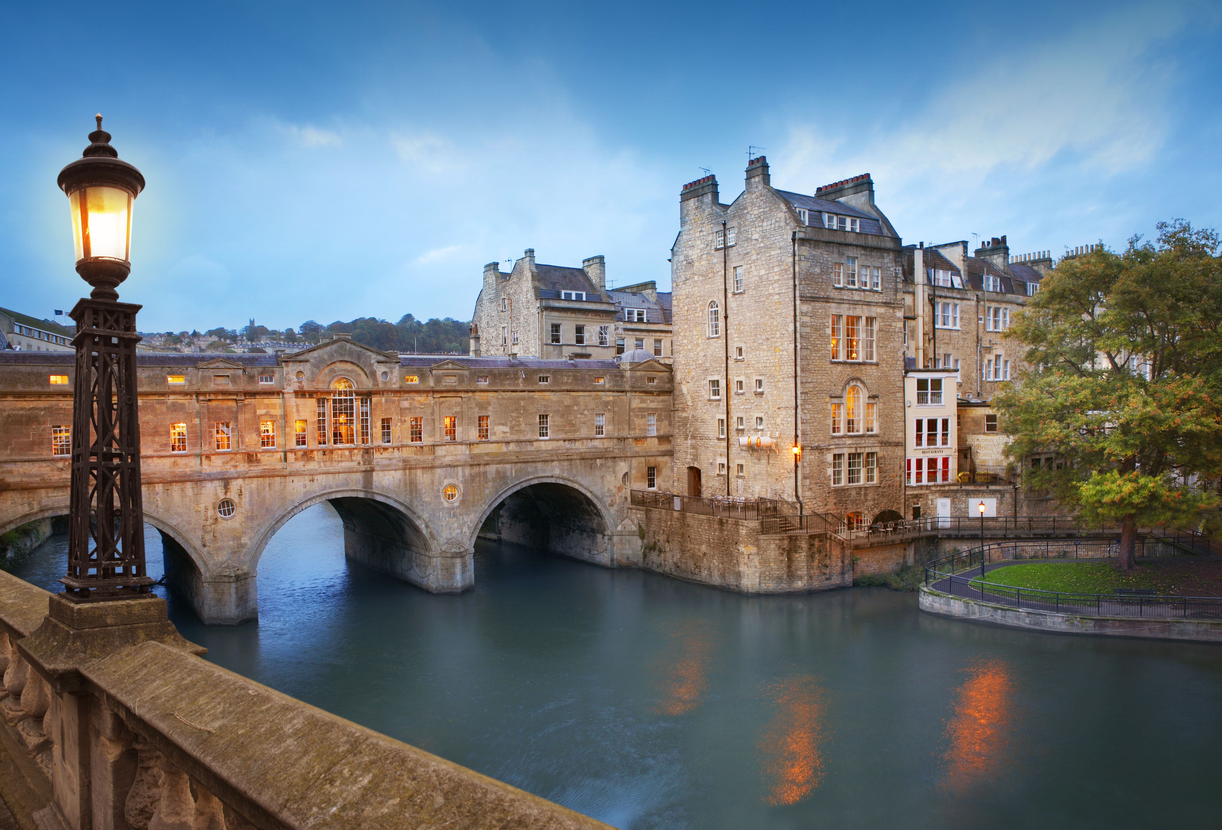
Pulteney Bridge by dusk, the main tourist attraction in Bath, UK.
Entering the Cotswolds
Cirencester (Corinium), on the edge of the Cotswolds, is our next highlight and owes its existence to being on the junction of the Fosse Way (A433/A429) and the Roman roads of Ermin Street (A417/A419) from Gloucester toward Silchester and London, and Akeman Street (B4425) toward present-day Oxford-shire: the sort of infrastructure that would serve Cirencester well years later as a prosperous medieval market and wool town.
The local Dobunni tribe, like most natives, adopted a collaborative relationship with the Romans and by AD 75 the Corinium fort was dismantled. Over the next 50 years, the town was laid out in traditional Roman style, including basilica, theater and an amphitheater whose earthwork remains can be viewed to the west of town; there’s a snatch of Roman wall in the Abbey grounds, too: surprisingly scant reminders of what became the second-largest city in Roman Britain and the capital of the late Roman province of Britannia Prima. The excellent Corinium Museum on Park Street, however, is a must-visit, featuring one of the largest collections of Romano-British antiquities in the country—sculptures, ceramics and mosaics that build a compelling picture of what town life meant.
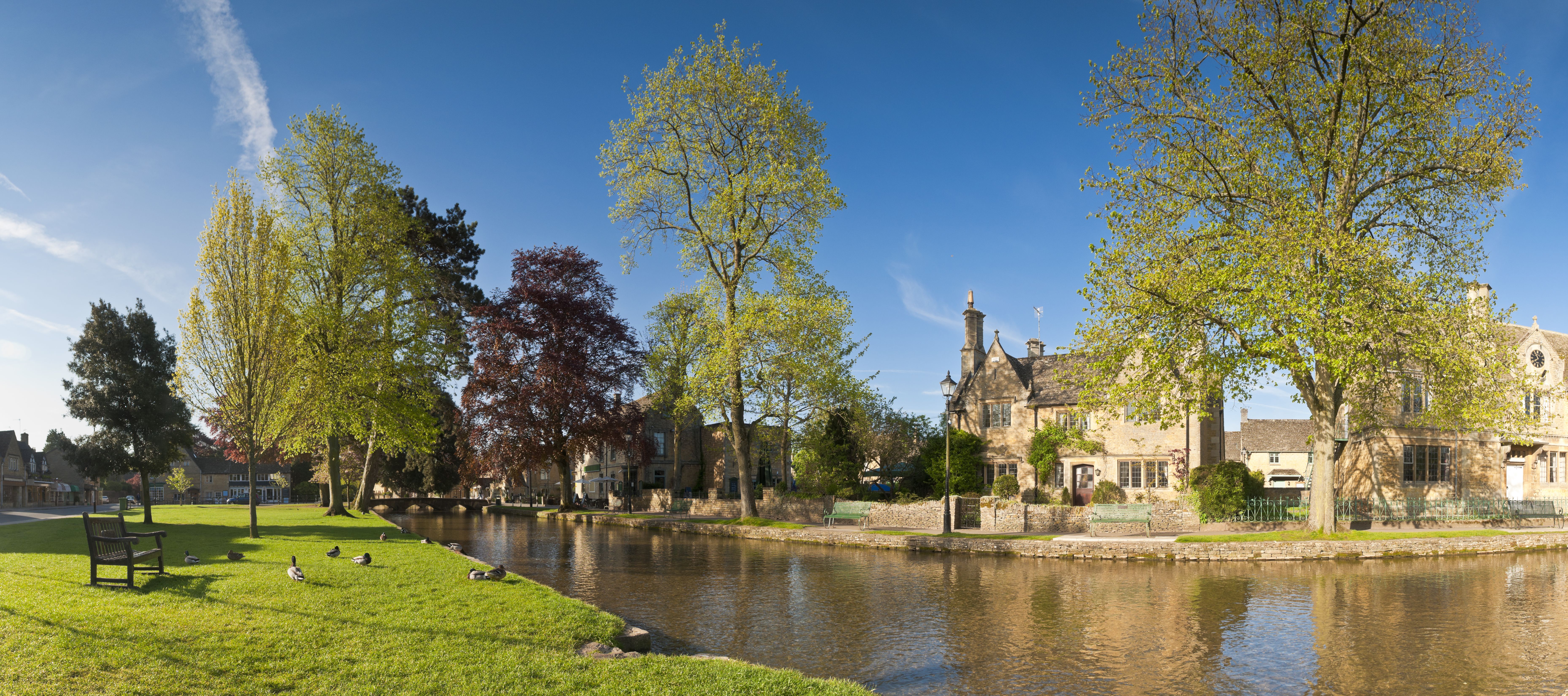
Bourton on the water, Cotswolds
The Cotswolds has one of the densest concentrations of Roman villas in England, and a little to the north the Fosse Way passes Chedworth Roman Villa, Yanworth. For centuries it lay hidden, until a Victorian gamekeeper, out ferreting for rabbits, unearthed pieces of colored stone; after a lot more digging the remains of one of the largest Romano-British villas in the country emerged, an eye-opening des res of local wealthy (but unidentified) individuals that boasted luxury ranges with beautiful views down the Coln Valley, flushing latrines, bathhouses, underfloor heating and fantastic mosaics that you can view close-up via a suspended walkway. A museum, built somewhat incongruously by the Victorians bang in the middle of the ancient layout, contains a trove of Roman domestic knick-knacks from a wine strainer to portable altars.
The A429 continues arrow-straight up and down Cotswold hills - Roman surveyors, using line-of-sight tools, plotted routes from one high point to another - and past a string of quintessential Cotswold towns. There’s the Roman trading settlement of Bourton-on-the-Water, now doing a roaring trade in tourism as the “Venice of the Cotswolds” (photo-taking on its bridges over the River Windrush are de rigueur); and More-ton-in-Marsh, where you might have a cream tea on the pavement beside the Fosse Way if you don’t mind the nonstop traffic.
At High Cross on the Warwickshire/Leicestershire borders, the Fosse Way crosses Roman Watling Street heading up to Chester. But we plough on to Leicester/Ratae Corieltauvorum, founded around AD 50 as a military settlement before morphing into a trading center. The Jewry Wall Museum of archaeology, in the striking setting of the remains of the Roman town’s public baths, has some rare Roman wall paintings.
It takes considerable imagination driving on up the bustling A46 to conjure up Roman Britain, but eventually Lincoln—Lindum—gives us a suitable finale as we drive through the Roman New-port Arch, the oldest arch in the UK still actively used by traffic. The Fosse Way runs parallel to High Street and you can see original wheel ruts in the Roman road preserved beneath the floor of St. Mary’s Guildhall (pre-book tours well in advance through Lincoln Civic Trust, tel: 01522 546422).
Roaming with the Romans
To follow or shadow the Fosse Way on a road journey, the main routes to look out for are: A30 from Exeter (and A358 from Axminster), A303 to Ilchester, A37 and A367 to Bath. From the World Heritage City, you’ll need a detailed map to pick up traces of the Roman route as it runs through places like Nettleton and Easton Grey; or take the A4 and A429 to rejoin it at Cirencester. Then it’s the A429 through the Cotswolds and the B4455 through Warwickshire up to High Cross. A hop onto the B4114 will take you to Leicester, then pick up the A46 to Newark and on toward Lincoln. T
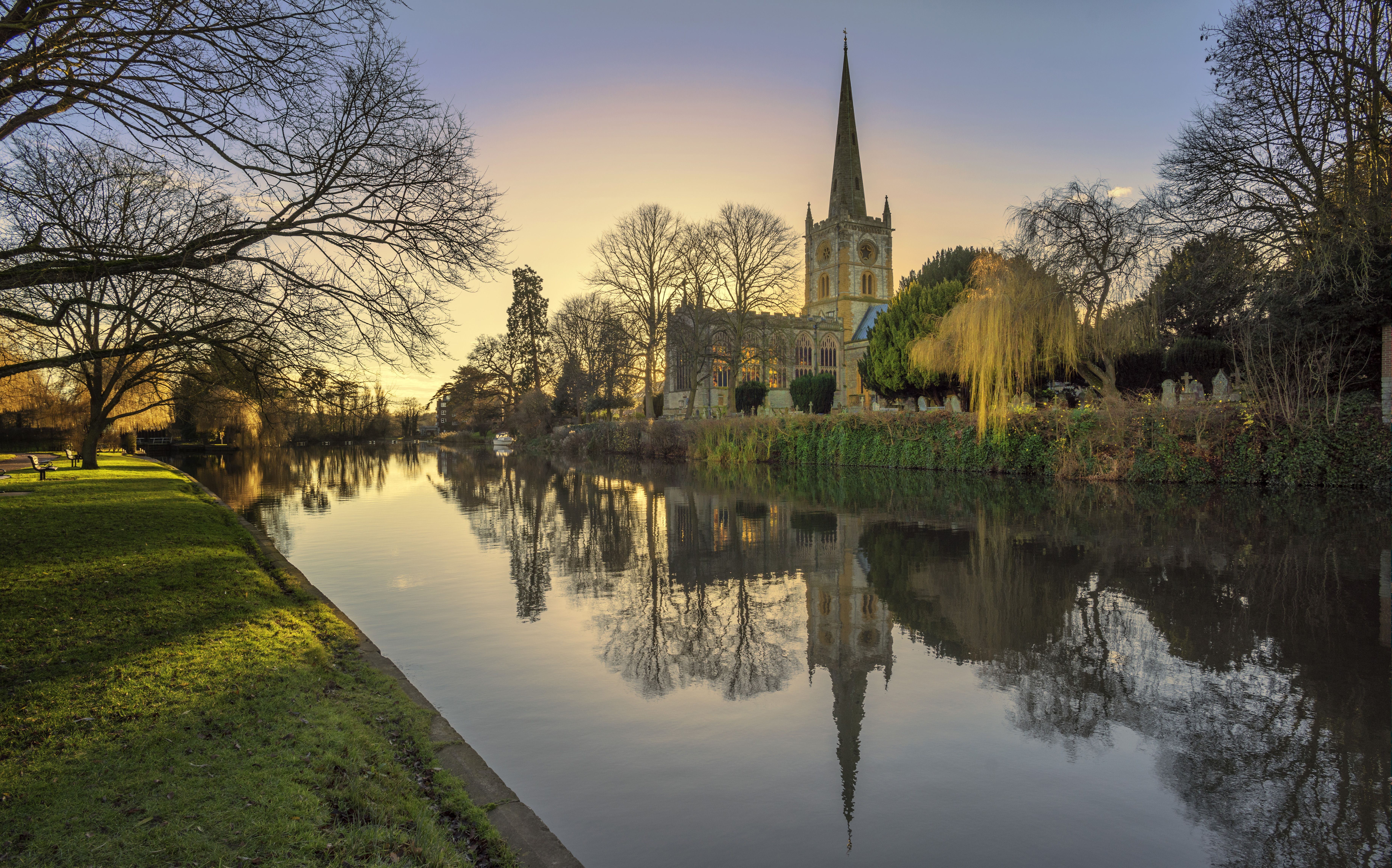
holy trinity church stratford-upon-avon warwickshire
Visit The Collection on Danes Terrace for the historical overview and artifacts like the tombstone of Gaius Valerius, standard-bearer with the Ninth Legion, which, tasked with advancing up the east coast, built a wooden fortress on the hilltop by the mid-50s AD. When the legion moved on to Eboracum (York), Lindum Colonia flourished (a colonia was a town largely reserved for army veterans). Pick up a Roman guide (£1) from the Visitor Information Centre on Castle Hill to tour key remains.
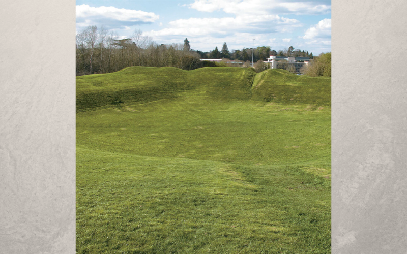
The Way leads through the Cotswold towns of Cirencester (with Roman amphitheater), Moreton-in-Marsh and Bourton-on-the-Water.
After 230–240 miles, this is the end of the Fosse Way, though you could continue along Roman Ermine Street, now the A15, to York, or in the other direction toward London. It’s interesting to reflect that after the Roman departure from England in AD 410, systematic construction of paved highways didn’t resume until the 18th century. Meantime and still, those Roman roads have brought all manner of visitors and historical happenings to the settlements en route.
* Originally published in April 2016.


Comments